A better understanding of the future impacts of climate change around Port Phillip Bay is now available with the release of the Victorian Government’s Port Phillip Bay Coastal Hazard Assessment.
Minister for Environment Steve Dimopoulos has announced the completion of the Coastal Hazard Assessment, which will help coastal land managers and the community understand, plan for, and manage the increasing impacts of climate change.
The hazard assessment is the first of its kind to look at the likely extent of flooding, changes in groundwater, and the impact of erosion for Port Phillip Bay in the decades to come.
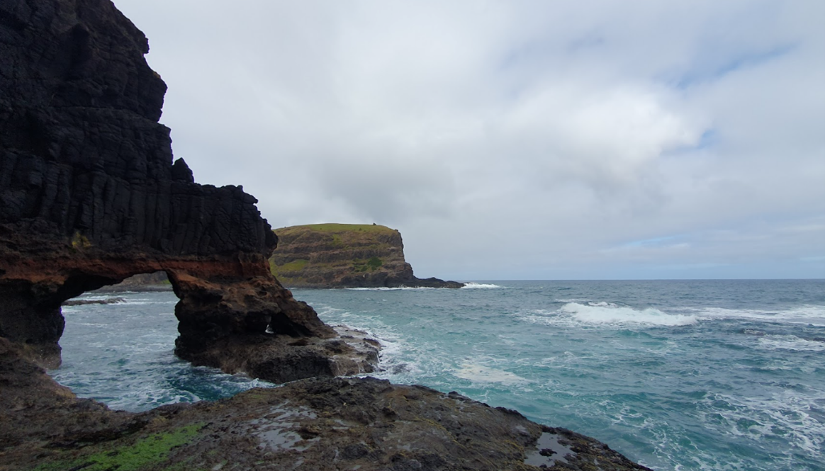
Extending from Point Lonsdale to Point Nepean, the Coastal Hazard Assessment looked at present-day conditions, predicted future changes, such as rising sea levels and changing wind and wave climates and examined how these changes might affect areas around the Bay.
The modelling, analysis and hazard maps provide a regional perspective of coastal processes and areas potentially exposed to coastal hazards around the Bay. These results provide the foundation for more in-depth, site-specific assessments and adaptation planning.
To be shared with land managers including local councils and the wider community, the findings of the bay-wide assessment will help to inform the development of possible adaptation responses to effectively manage coastal hazard risk in coastal communities.
The technical reports were prepared by a range of external providers, including CSIRO, and have undergone a rigorous independent peer review.
The Victorian Government invested $2 million towards the development of the Port Phillip Bay Coastal Hazard Assessment.
Since 2014, the Victorian Government has invested $140 million into marine and coastal projects, including Victoria’s Resilient Coast grants, which help councils and land managers adapt to the risk of coastal hazards such as erosion and inundation.
To view the hazard maps and full report, visit Port Phillip Bay Coastal Hazard Assessment.
Page last updated: 11/01/24