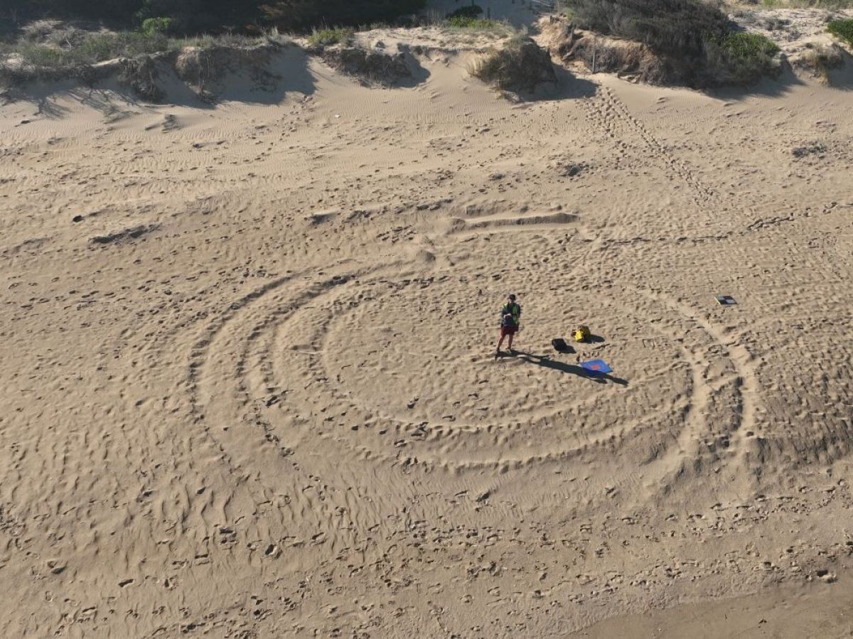
Project Manager and Lead Coastal Drone Pilot, Rebecca Stuart, arguably has one of the best jobs – travelling to and mapping Victorian beaches.
Rebecca is one of DEECA’s 68 pilots accredited through DEECA's Remotely Piloted Aircraft System (RPAS) team to use drones for their project.
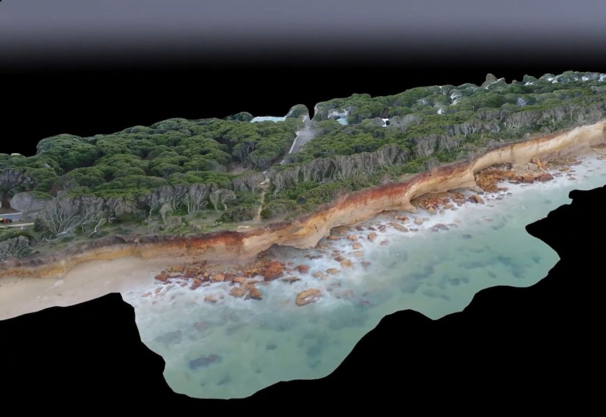
The images captured by Rebecca’s flights are used by the Victorian Coastal Monitoring Program to track coastal processes and inform management decisions.
“This project has such great value,” she said. “Rising sea levels and more frequent storm events means Victoria’s coastline faces increasing impacts from erosion and inundation.
“The coastline is a dynamic environment and the data captured allows us to highlight hot spots, make comparisons and provide evidence for future management decisions.”
The beach is a far cry from the forest where Rebecca worked as a forest and wildlife officer for the Conservation Regulator. With a background in marine science the sea has always called.
“Some places are easier than others to map,” she said. “For instance around Patterson Lakes and Sandringham you have planes coming over so you must land regularly.
“Walkerville in contrast is a dream to map.”
The Victorian Coastal Monitoring Program was established in 2017 in partnership with citizen scientists, Deakin, Monash and Melbourne Universities. Researchers and citizen scientists aimed to collect, process and interrogate sand movement across 15 Victorian beaches using drones, wave buoys, seafloor mapping and sediment sampling.
Mapping paused and moved back to DEECA during COVID. The program has since expanded and now the VCMP, in collaboration with citizen scientists, universities and local government agencies, map over 40 sites along the Victorian coastline every 6 to 8 weeks.
“We try to map on low tide to capture as much beach as possible, she explained.
“We also use the drones to monitor storm impacts. Before a storm, we will send a drone up to capture the shoreline before and then map the shoreline after.”
Once processed and scrutinised for quality control, the mapping data is available on Propeller Aero, a publicly accessible online portal. More information at CoastKit and Data Portals
Page last updated: 30/03/26